January 5, 2023
Lynn here today….
We’ve heard from a few of you that are concerned because we haven’t posted in a few days. We left KW on Tuesday and started the three day trip to Ft Lauderdale, stopping in Marathon the first night. Heading out on Wednesday, the seas were a lot rougher than had been indicated and after a few hours of bouncing around, we decided to head into a marina cutting the trip short by about an hour.
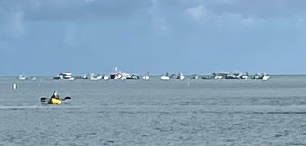
It was a great decision since we ended up in a beautiful resort marina called Postcard Inn. Beautiful docks, a very nice beach (there aren’t many beaches in the Keys) and a dog friendly environment – of course, Guinness had to start chasing the iguanas on the rocks by the beach and entertaining those sunbathing. It was a little disconcerting heading into the shallow channel to the marina when we were still a half mile out and saw about 30 boats anchored with people standing in knee deep water and picnicking on the sand bar.
So we will be in Ft Lauderdale for a few days before heading to the Bahamas. We have quite a list of things to take care of:
Pick up a new water pump at West Marine
Have tech on board to look at the new depth finder which is still acting up
Get Guinness seen by a vet so he’s cleared to enter the Bahamas
Buy dog food at Petco
Uber will be happy to see us!
Our plan is to head over on Monday since the weather window looks best that day but we are very flexible since crossing the Gulf Stream requires certain wind and sea conditions.
Navigation – its a beautiful thing!
So how do we get from one marina to the next? While not autonomous, it’s really easier than you would expect. Looking at the paper or electronic charts, we create a “waypoint” giving it a name and entering the longitude and latitude. Many of these are shown on the charts, but Rod can also just touch the screen to create a waypoint. Then we create a route on the chart plotter and enter the waypoints and save it with a name such as KeyLargo2Marathon. Rod will then select the route when we leave the marina and set the boat to “track” and the boat will steer itself to the waypoints. Based on our speed, it tells how far to the next waypoint and when we will arrive at our final destination. I may be making this sound a bit more difficult than it is, but when I was boating 30 years ago, we didn’t have this technology and everything was done with a compass and the paper charts. So much easier now and we can relax and read (or write this post) while keeping an eye out for other boaters.
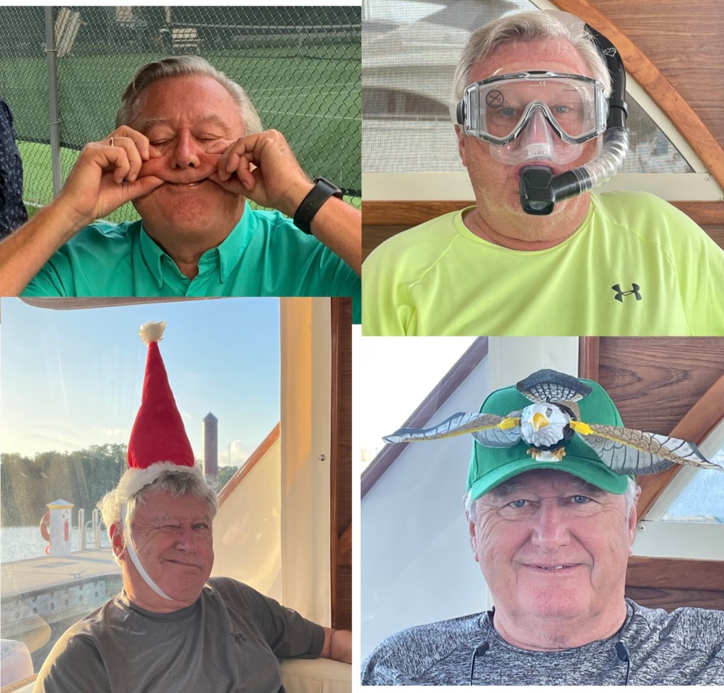
Since we don’t have a lot of photos for this post, I thought I would share some of the funnier Rod pix. He’s such a good sport.
TTFN
Rod, Lynn and Guinness

Glad to see the post. Keep on enjoying yourselves!!
LikeLike